Community
10 February, 2025
Council warns about tropical low forming
A weak tropical low may form near the north tropical coast, warns the Cairns Local Disaster Management Group (LDMG).
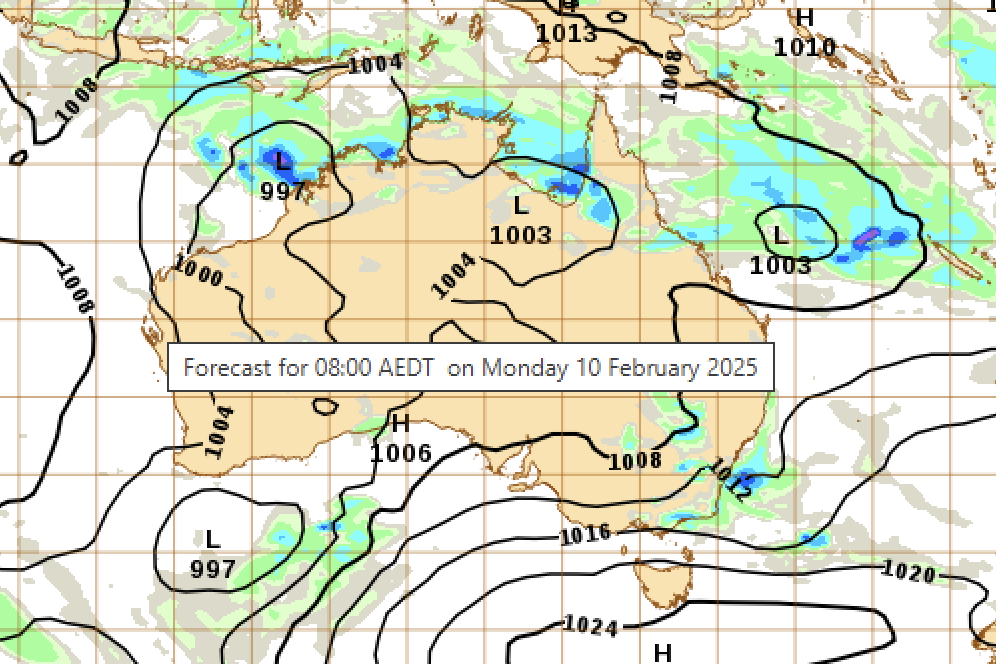
Gusts of 70-80km/h are possible overnight Monday and into Tuesday and severe thunderstorms are also possible, says the LDMG.
"Recent rainfall totals have saturated the Cairns region," it says.
"Possible falls of rain of 30-60mm are forecast over the next few days.
"King tides impacting the Cairns regional coast until Saturday, February 15.
"Mountain ranges and downward slopes may experience hazardous wind gusts causing possible tree damage.
"Road closures could be impacted by tide movements affecting parking in low lying areas near the coast.
The LDMG says for flood and storm emergency help, people should call the SES on 132 500 or download the SES Assistance QLD app.
Stay informed and for more information:
Visit BoM for more information and updates: www.bom.gov.au
Go to the Cairns Disaster Dashboard for all warnings: disaster.cairns.qld.gov.au
Listen to ABC Far North at 801AM, 95.5FM or 106.7FM.
Find out how to get ready for a flood at getready.qld.gov.au
The next update will be sent when the situation changes.
